Introduction
Welcome to today’s lesson. In the realm of remote sensing and earth observation technologies, having a strong vocabulary is crucial. Today, we’ll be diving into the top 10 verbs that you need to know. So, without further ado, let’s get started!
1. Capture
The first verb on our list is ‘capture.’ It refers to the process of acquiring data or images using sensors. For instance, satellites capture high-resolution images of the Earth’s surface, enabling us to study various phenomena.
2. Analyze
Next up, we have ‘analyze.’ Once the data is captured, it needs to be processed and interpreted. Analyzing the information allows us to extract valuable insights and understand patterns or changes occurring in the environment.
3. Monitor
The verb ‘monitor’ is all about observing and keeping track of changes over time. Remote sensing technologies enable us to monitor everything from deforestation rates to urban expansion, providing us with valuable data for decision-making.
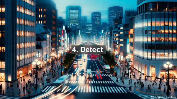
4. Detect
When it comes to identifying specific features or phenomena, the verb ‘detect’ is used. For instance, remote sensing can help detect the presence of certain minerals or even track the movement of icebergs.
5. Classify
Sometimes, it’s not enough to detect something; we also need to categorize it. That’s where ‘classify’ comes in. By classifying land cover types, for example, we can better understand ecosystems and their dynamics.
6. Model
Models are essential in many scientific fields, and remote sensing is no exception. By ‘modeling,’ we can simulate real-world scenarios, such as predicting the spread of a wildfire based on various factors.
7. Integrate
Remote sensing data often comes from multiple sources. ‘Integrating’ these different datasets allows us to create comprehensive maps or models that capture a wide range of information.
8. Validate
To ensure the accuracy of our findings, it’s crucial to ‘validate’ them. This involves comparing remote sensing data with ground-based measurements or other reliable sources.
9. Share
In the age of collaboration, ‘sharing’ is vital. Remote sensing data is often shared among researchers, organizations, or even the public, fostering knowledge exchange and enabling collective action.
10. Innovate
Last but not least, ‘innovate.’ The field of remote sensing is constantly evolving, with new technologies and approaches emerging. By embracing innovation, we can push the boundaries of what’s possible and make even greater strides in our understanding of the Earth.