Introduction
Geomatics, with its vast array of technical terms, can sometimes be confusing. In this lesson, we’ll explore the top 10 commonly confused words in Geomatics. By the end, you’ll have a clearer understanding of these terms, which will undoubtedly benefit your studies and future career. Let’s dive in!
1. Accuracy vs. Precision
Accuracy and precision are often used interchangeably, but they have distinct meanings. Accuracy refers to how close a measurement is to the true value, while precision relates to the consistency and reproducibility of a measurement. In Geomatics, both are crucial. For example, a GPS receiver may have high precision, consistently providing the same coordinates, but if those coordinates are consistently off from the true location, the accuracy is compromised.
2. GIS vs. GPS
GIS, or Geographic Information System, and GPS, or Global Positioning System, are two commonly used terms. While they both deal with spatial data, they serve different purposes. GIS is a software system used to capture, store, analyze, and present spatial data, while GPS is a satellite-based navigation system that provides precise location information. In simpler terms, GIS is the tool, and GPS is one of the many data sources for GIS.
3. Remote Sensing vs. Aerial Photography
Remote sensing and aerial photography are often used in Geomatics for data acquisition. Remote sensing involves gathering information about an object or area without direct physical contact, using sensors on satellites or aircraft. On the other hand, aerial photography is the process of capturing images from an aircraft. While both methods provide valuable data, remote sensing offers a broader range of information, including non-visible spectra like infrared.
4. Geoid vs. Ellipsoid
When representing the Earth’s shape, two models are commonly used: the geoid and the ellipsoid. The geoid is an irregular surface that approximates mean sea level, while the ellipsoid is a mathematically defined smooth surface. The geoid is used as a reference for elevations, while the ellipsoid is used for calculations involving coordinates. Think of the geoid as the Earth’s true shape, and the ellipsoid as a simplified, smooth representation.
5. Topographic vs. Planimetric Maps
Topographic and planimetric maps are both used to represent the Earth’s surface, but they differ in the level of detail. Topographic maps include not only the horizontal positions of features but also their elevations, making them suitable for terrain analysis. Planimetric maps, on the other hand, focus solely on the horizontal positions of features, making them useful for urban planning or transportation studies where elevation data may not be necessary.
6. Datum vs. Coordinate System
In Geomatics, a datum and a coordinate system are essential components. A datum is a reference surface or model used to define the shape and orientation of the Earth, while a coordinate system is a framework for assigning coordinates to locations on the Earth’s surface. The datum provides the starting point, and the coordinate system allows for precise positioning. Without a consistent datum and coordinate system, spatial data would be meaningless.
7. Conflation vs. Registration
Conflation and registration are terms used in data integration. Conflation involves combining multiple datasets, often with overlapping features, to create a unified dataset. Registration, on the other hand, is the process of aligning different datasets to a common coordinate system. While both processes involve data merging, conflation focuses on feature integration, while registration focuses on spatial alignment.
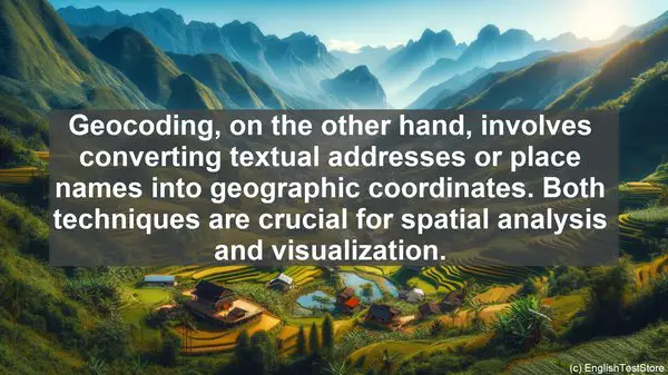
8. Georeferencing vs. Geocoding
Georeferencing and geocoding are techniques used to associate spatial information with non-spatial data. Georeferencing involves assigning spatial coordinates to an image or map, aligning it with the Earth’s surface. Geocoding, on the other hand, involves converting textual addresses or place names into geographic coordinates. Both techniques are crucial for spatial analysis and visualization.
9. Orthophoto vs. Aerial Image
Orthophotos and aerial images are commonly used in mapping and analysis. An orthophoto is a geometrically corrected aerial image that has a consistent scale, allowing for accurate measurements. It removes distortions caused by terrain relief and camera tilt. An aerial image, on the other hand, may have distortions and is not suitable for precise measurements without further processing. Orthophotos are often used as basemaps for various applications.
10. LiDAR vs. Photogrammetry
LiDAR and photogrammetry are both techniques used for 3D data acquisition. LiDAR, which stands for Light Detection and Ranging, uses laser pulses to measure distances and create highly accurate 3D models. Photogrammetry, on the other hand, involves extracting 3D information from overlapping aerial or terrestrial images. While LiDAR provides accurate elevation data, photogrammetry can also capture detailed surface textures.