Introduction
Welcome to our lesson on the top 10 commonly confused words in satellite geodesy. As students, it’s crucial to have a strong grasp of these terms to excel in this field. So, let’s dive in!
1. Orbit vs. Trajectory
While both terms refer to the path of a satellite, there’s a key distinction. An orbit is a predictable, repeating path, like a circle or an ellipse. On the other hand, a trajectory is the actual path a satellite takes, which may deviate due to various factors. Understanding this difference is vital for precise satellite positioning.
2. Geoid vs. Ellipsoid
When discussing the Earth’s shape, these terms often come up. The geoid represents the true shape, accounting for irregularities like mountains and ocean trenches. In contrast, the ellipsoid is a simplified model, considering the Earth as an idealized sphere. While the ellipsoid is useful for calculations, it’s the geoid that aligns with the actual surface.
3. Resolution vs. Accuracy
In satellite imagery, these terms define different aspects. Resolution refers to the level of detail captured by a sensor. Higher resolution means finer details. Accuracy, on the other hand, relates to the correctness of the data. A high-resolution image may not necessarily be accurate if the sensor isn’t calibrated properly. Both factors are crucial in applications like mapping and land cover analysis.
4. Altimetry vs. Gravimetry
These techniques help us understand the Earth’s topography and gravity field. Altimetry measures the height of land or water surfaces, providing valuable data for oceanography and geology. Gravimetry, on the other hand, focuses on variations in the Earth’s gravitational field, aiding in studies related to tectonic activity and mineral exploration.
5. GNSS vs. GPS
While often used interchangeably, there’s a subtle difference. GPS, or Global Positioning System, is a specific satellite navigation system developed by the United States. GNSS, or Global Navigation Satellite System, is a broader term that encompasses multiple systems, including GPS, GLONASS, and Galileo. So, GPS is a part of the larger GNSS family.
6. SAR vs. Optical Imagery
When it comes to remote sensing, there are different types of satellite imagery. SAR, or Synthetic Aperture Radar, uses microwave signals and is capable of capturing data regardless of weather or daylight conditions. Optical imagery, on the other hand, relies on visible and infrared light. Each type has its advantages and is suitable for specific applications.
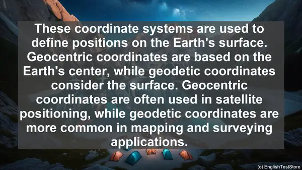
7. Geocentric vs. Geodetic Coordinates
These coordinate systems are used to define positions on the Earth’s surface. Geocentric coordinates are based on the Earth’s center, while geodetic coordinates consider the surface. Geocentric coordinates are often used in satellite positioning, while geodetic coordinates are more common in mapping and surveying applications.
8. Attitude vs. Orbit Control
When it comes to satellite operations, these terms are crucial. Attitude control refers to the ability to adjust the satellite’s orientation in space. This is important for capturing accurate imagery or maintaining communication links. Orbit control, on the other hand, involves maneuvers to maintain the desired orbital parameters, such as altitude and inclination.
9. Apogee vs. Perigee
These terms are used to describe points in a satellite’s orbit. Apogee refers to the highest point, while perigee is the lowest. Understanding these terms helps in predicting a satellite’s coverage area and ground track.
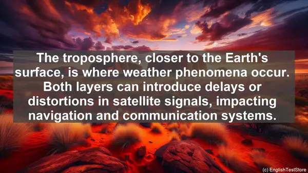
10. Ionosphere vs. Troposphere
These atmospheric layers play a significant role in satellite signal propagation. The ionosphere, located above the troposphere, affects signals in the radio frequency range. The troposphere, closer to the Earth’s surface, is where weather phenomena occur. Both layers can introduce delays or distortions in satellite signals, impacting navigation and communication systems.