Introduction: The Language of Satellite Meteorology
Welcome to our lesson on the top 10 commonly confused words in satellite meteorology. As with any field, mastering the terminology is essential for effective communication and comprehension. In satellite meteorology, where precision is paramount, a slight misunderstanding of a word can lead to significant errors in analysis and forecasting. So, let’s dive into these words and unravel their meanings!
1. Albedo vs. Reflectance: Understanding Surface Brightness
Albedo and reflectance are often used interchangeably, but they have distinct meanings. Albedo refers to the proportion of solar radiation reflected by a surface, while reflectance is the ratio of reflected radiation to the incident radiation. While both relate to surface brightness, albedo is a measure of the overall reflectivity, while reflectance is more specific to the ratio. So, when analyzing satellite images, it’s crucial to differentiate between the two.
2. Radiance vs. Brightness Temperature: Measuring Thermal Emission
Radiance and brightness temperature are terms used to quantify thermal emission from the Earth’s surface. Radiance refers to the amount of energy emitted by a surface per unit area, while brightness temperature is the temperature a blackbody would need to have to emit the same amount of energy. While radiance is a true physical quantity, brightness temperature is an equivalent temperature value used for analysis. Understanding this distinction is vital for accurate temperature estimation.
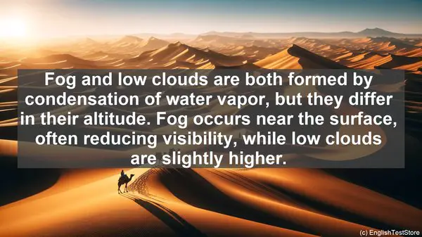
3. Fog vs. Low Clouds: Differentiating Near-Surface Condensation
Fog and low clouds are both formed by condensation of water vapor, but they differ in their altitude. Fog occurs near the surface, often reducing visibility, while low clouds are slightly higher. The distinction is crucial in satellite imagery interpretation, as fog can have a significant impact on aviation and surface transportation. By analyzing the cloud base height, meteorologists can differentiate between the two.
4. Scattering vs. Absorption: Understanding Interaction with Radiation
Scattering and absorption are two fundamental processes that occur when radiation interacts with particles in the atmosphere. Scattering refers to the redirection of radiation in different directions, while absorption involves the transfer of energy to the absorbing medium. Both processes play a role in satellite observations, with scattering often leading to the formation of bright features in imagery, while absorption can result in darker regions.
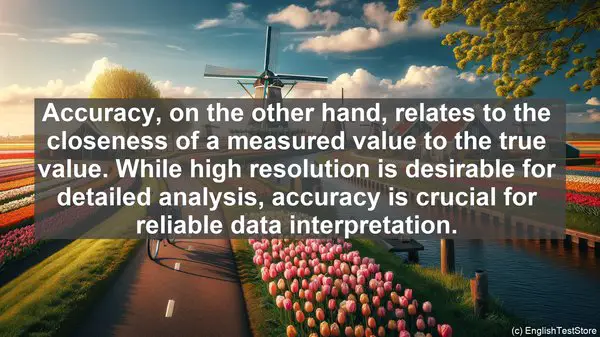
5. Resolution vs. Accuracy: Assessing Image Quality
Resolution and accuracy are terms often used when discussing the quality of satellite images. Resolution refers to the level of detail that can be observed, often determined by the sensor’s capabilities. Accuracy, on the other hand, relates to the closeness of a measured value to the true value. While high resolution is desirable for detailed analysis, accuracy is crucial for reliable data interpretation.
6. Convection vs. Advection: Understanding Atmospheric Motion
Convection and advection both describe the movement of air, but they differ in the driving force. Convection is the vertical motion of air due to buoyancy, often associated with the formation of clouds and precipitation. Advection, on the other hand, is the horizontal movement of air, driven by pressure gradients. Both processes are essential in weather systems, and understanding their dynamics is crucial for accurate forecasting.
7. Geostationary vs. Polar Orbiting Satellites: Coverage and Advantages
Geostationary and polar orbiting satellites are two primary types used in meteorology. Geostationary satellites remain fixed over a specific location, providing continuous coverage of that region. Polar orbiting satellites, on the other hand, circle the Earth in a north-south trajectory, providing global coverage but with less frequency. The choice of satellite depends on the specific application, with geostationary satellites often preferred for short-term weather monitoring.
8. Water Vapor vs. Infrared Channels: Probing Different Atmospheric Layers
Satellite sensors often have multiple channels, each sensitive to a specific range of wavelengths. Water vapor channels are particularly useful for observing moisture in the mid to upper levels of the atmosphere, while infrared channels are effective in detecting cloud-top temperatures and identifying storm systems. By utilizing the appropriate channels, meteorologists can gain insights into different atmospheric processes.
9. False Color vs. True Color Imagery: Enhancing Features
Satellite images can be displayed in different color combinations, each highlighting specific features. False color imagery involves assigning non-conventional colors to different wavelengths, enhancing the visibility of certain phenomena. True color imagery, on the other hand, aims to replicate the colors as they would appear to the human eye. Both have their advantages, and the choice depends on the specific analysis objective.
10. Scatterometer vs. Radiometer: Measuring Ocean Surface Properties
Scatterometers and radiometers are instruments used to study the ocean surface. A scatterometer measures the backscattered radiation, which can provide information about wind speed and direction. A radiometer, on the other hand, measures the thermal emission from the ocean surface, useful for studying sea surface temperatures. Both instruments have their unique capabilities and are valuable in oceanographic research.